
Capital City · Arunachal Pradesh
Itanagar
Arunachal's capital, with the medieval Ita Fort, Ganga Lake and an excellent state museum.
Quick facts
- Best season
- October – April
- Duration
- 1 day
- Altitude
- ≈320 m
- Nearest town
- Itanagar (Papum Pare)
- Permit
- Inner Line Permit (ILP) for Indian visitors; Protected Area Permit (PAP) for foreigners. Verify before travel. ILP checked at Banderdewa gate.
About Itanagar
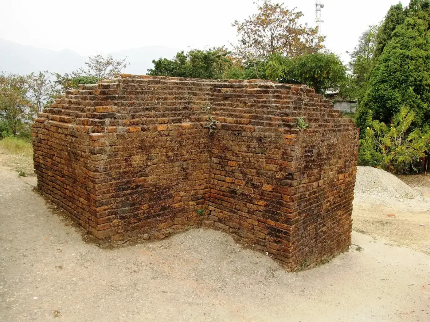
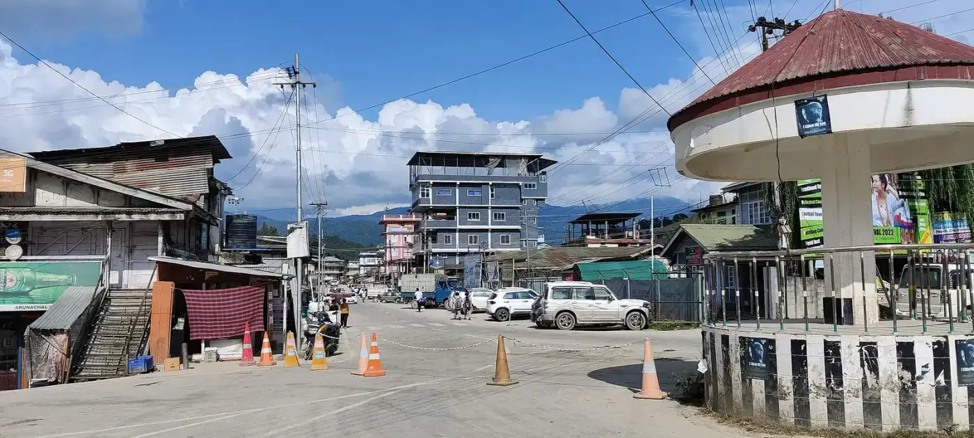
Itanagar, the capital of Arunachal Pradesh, spreads across green hills at the foot of the Himalaya. Its name comes from Ita Fort, an irregular brick fortification dated to around the 14th–15th centuries, whose remains can be seen on a hill in the city. Many historians link it to the ancient city of Mayapur.
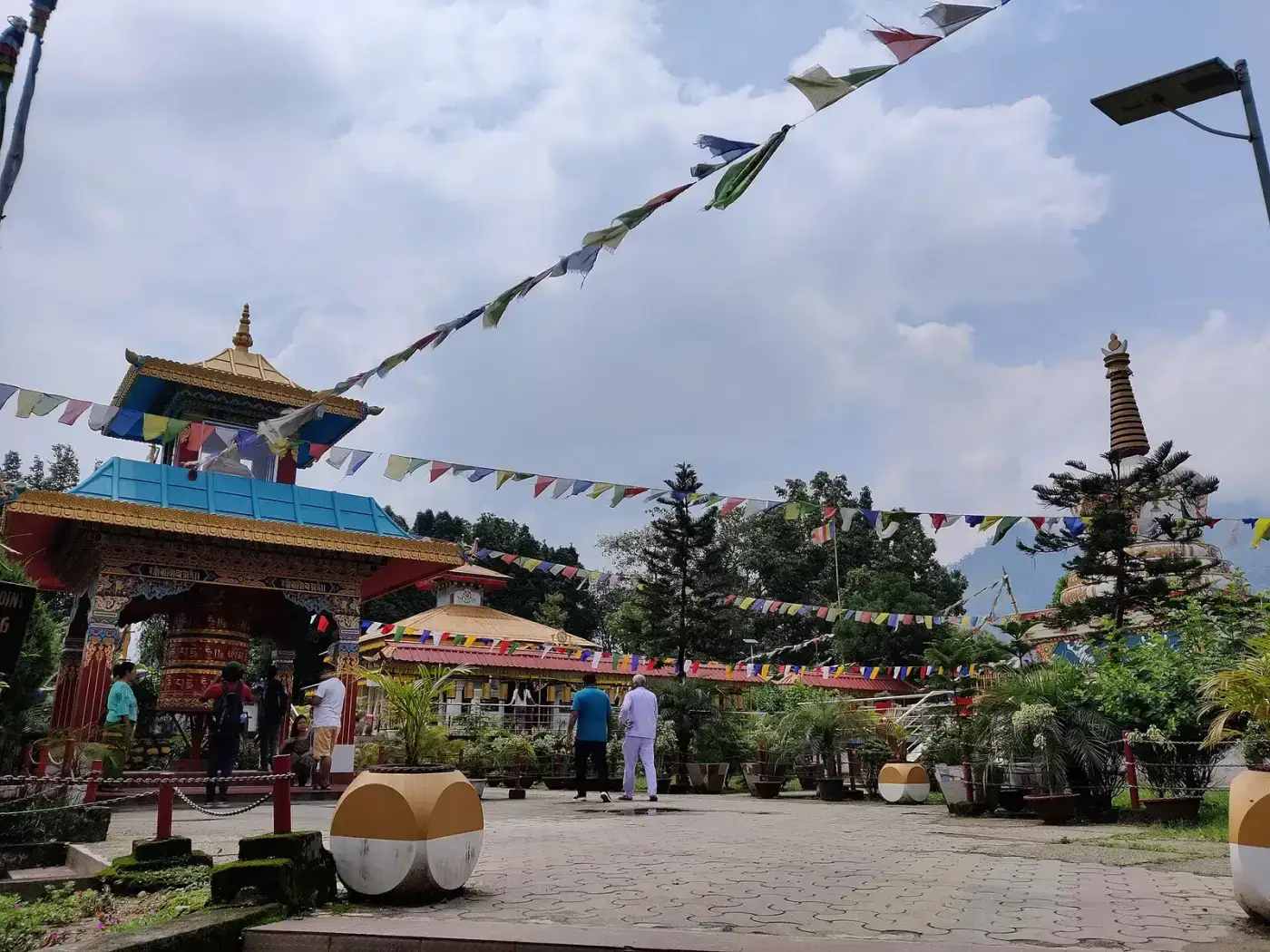
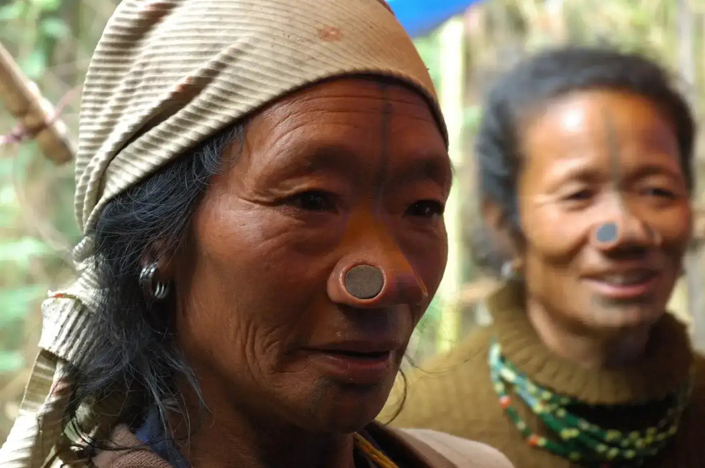
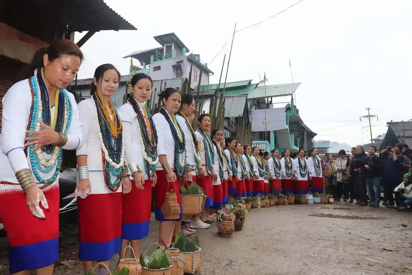
The Jawaharlal Nehru State Museum is the best place in the state to get an overview of Arunachal's many tribes, with displays of costumes, weapons, crafts and musical instruments. Ganga Lake (Gyakar Sinyi), a forest-fringed lake on the edge of the city, is a popular picnic spot. The Buddha Vihar on a hilltop, consecrated by the Dalai Lama, offers city views.
With the Donyi Polo Airport at Hollongi and the Naharlagun railway station nearby, Itanagar is the gateway to Ziro and central Arunachal. It is also a good place to shop for handicrafts at the state emporium.
How to reach Itanagar
Donyi Polo Airport (Hollongi) is about 15 km away. Naharlagun railway station has trains from Guwahati and Delhi. By road, about 330 km (7–8 hours) from Guwahati.
Tours that include Itanagar
Things to do
Places near Itanagar
Itanagar FAQs
What is there to see in Itanagar?
Ita Fort, the Jawaharlal Nehru State Museum, Ganga Lake, the Buddha Vihar and the handicraft emporium.
Which airport serves Itanagar?
Donyi Polo Airport at Hollongi, about 15 km from the city.
How far is Ziro from Itanagar?
About 110 km, a 3–4 hour drive.
Facts checked against: en.wikipedia.org · en.wikipedia.org · arunachaltourism.com. Conditions change — verify timings and permits before travel.